
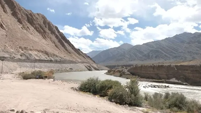
India has standardised the names of 28 Ladakh landmarks and geographical features, including locations in areas claimed by China, in a move that will place their official names on Survey of India maps. The Union Home Ministry finalised the names after consultations with the Union Territory administration.
The exercise covers a range of geographical features, including mountain peaks, passes, glaciers, valleys, rivers and lakes. The government has said the move is intended to ensure accurate identification of the locations and increase public awareness about them.
28 geographical features receive official names
The newly standardised names include Zorawar Peak, Kanishka Peak, Atisha Giri, Martand Giri, Rinchen Zangpo, Sakyashree Giri, Marpa Lotsawa Ri, Milarepa Kangri, Shiva Ri and Maheshwar Ri.
Several mountains have also received official names, including Karun Pir, Drak Karpo and Zolmori.
The list includes Chapchingle Pass and Shachmirk Pass, along with Parpik and Skamari glaciers. Shkorga Valley is another geographical feature included in the exercise.
Other locations named by the government include Brangsa, Kuksel, Dehra Compass, Gogra, Kumarayan Point, Panglung and Shamal Lungpa.
Guru Rinpoche Lake, Yangpa River and Hot Spring are also among the geographical features whose names have now been standardised.
Names added to Survey of India maps
One of the locations on the list, Dehra Compass, is situated in the disputed Aksai Chin region, which India claims and China controls.
The inclusion of the locations on official Survey of India maps gives the newly standardised names a formal place in India’s mapping records. The move comes amid continuing territorial differences between India and China over parts of the region.
The government’s stated objective is to establish consistent identification of the geographical features and improve public awareness about locations across Ladakh.
The standardisation also creates a uniform naming system for official mapping and documentation, covering prominent natural features across the Union Territory.
The 28 locations will now appear with their standardised names on the Survey of India’s official map, marking another step in documenting Ladakh’s geographical features through India’s official mapping system.
Relevant link: Survey of India



Conversation
Be kind and stay on topic. Comments are moderated; abuse, spam and personal attacks are removed. Report a problem