



China’s massive Medog Dam project in Tibet has come under renewed scrutiny after devastating floods near the Nepal-Tibet border highlighted the risks of building major infrastructure in the seismically active Himalayan region.
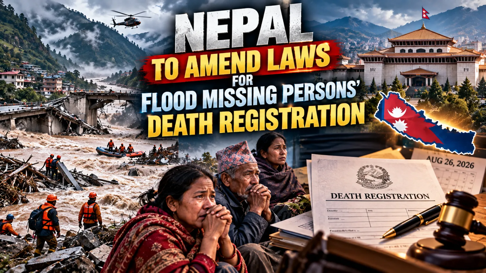
The disaster, triggered by a suspected avalanche and possible seismic activity, caused widespread destruction across Nepal and Tibet, killing more than 100 people and leaving hundreds missing. The scale of the devastation has renewed concerns among strategic and environmental experts about China’s planned 60,000-MW hydropower project on the Yarlung Tsangpo river, which flows into India as the Siang and later becomes the Brahmaputra.
The Medog Dam, also known as the Motuo Hydropower Station, is being constructed in Tibet’s Medog region near Arunachal Pradesh. China aims to develop the project into the world’s largest hydropower facility, with a planned generating capacity of around 60,000 MW.

Its location, however, has raised concerns because the Himalayan region is among the world’s most seismically active areas.
The recent floods near the Nepal-Tibet border demonstrated how earthquakes, landslides, glacier collapses and avalanches can trigger cascading disasters in the fragile Himalayan ecosystem. Entire settlements, roads and infrastructure were damaged as a massive surge of water, mud, ice and debris moved downstream through river systems.
Initial reports suggested that seismic activity or an avalanche may have triggered the disaster, although investigations into the exact cause are continuing.
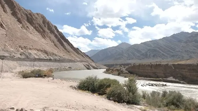
The Medog project is located on the Yarlung Tsangpo, one of Asia’s most strategically important transboundary rivers. After flowing through Tibet, the river enters Arunachal Pradesh, where it is known as the Siang, before moving through Assam as the Brahmaputra and eventually reaching Bangladesh.
The project is being developed in a dramatic section of the river near the Great Bend around Mount Namcha Barwa, where the Yarlung Tsangpo descends sharply through one of the world’s deepest river valleys.
China plans to develop multiple cascading hydropower facilities in the region, taking advantage of the river’s enormous hydropower potential.
However, the scale of the project and its location in a geologically sensitive region have raised questions about seismic safety and the potential consequences of a major earthquake, landslide or structural failure.

Concerns intensified after reports in July indicated that geologists associated with China’s state-run geological institutions had identified the active Paizhen Fault beneath or near the Medog Dam project area.
Experts have argued that major infrastructure projects in the Himalayas must account for the region’s history of earthquakes, landslides, glacial lake outburst floods and other natural hazards.
The Nepal disaster has now brought those concerns back into focus.
The flooding demonstrated how a sudden geological event in the Himalayas can rapidly transform into a large-scale disaster downstream. A powerful surge of water and debris can travel through narrow mountain valleys, damaging settlements, roads, bridges and hydropower infrastructure.
For India, concerns surrounding the Medog project extend beyond structural safety.
China controls the upper reaches of the Yarlung Tsangpo, while India and Bangladesh are downstream countries. Although a significant portion of the Brahmaputra’s water volume is added through rainfall and tributaries after the river enters India, upstream infrastructure could still influence the timing and management of water flows.
A sudden release of water during periods of heavy rainfall could potentially worsen flooding downstream, while changes in water releases during drier periods could affect local communities, agriculture and ecosystems.
Arunachal Pradesh and Assam are particularly sensitive because the Siang-Brahmaputra river system supports millions of people and plays a major role in the region’s ecology and economy.
The possibility of sudden water-flow fluctuations from upstream infrastructure has therefore become a strategic concern for India.
The Indian government has also been examining ways to manage potential fluctuations in the Siang river system. India has proposed the Siang Upper Multipurpose Project, a major hydropower and water-management project in Arunachal Pradesh.
The project has been discussed as part of India’s broader strategy to strengthen water management and infrastructure in response to developments upstream.
Another major concern is information sharing.
Because India has limited visibility over developments in Tibet, real-time hydrological data and early-warning mechanisms are crucial for downstream disaster preparedness.
The recent Nepal floods have renewed debate over whether countries sharing Himalayan river systems have sufficient mechanisms to exchange information during emergencies such as earthquakes, landslides, glacier collapses and sudden floods.
China’s Medog project is expected to be significantly larger than the Three Gorges Dam in terms of planned generating capacity. The project is estimated to require an investment of hundreds of billions of dollars and is expected to play a major role in China’s long-term renewable energy strategy.
However, its location near the India-China border and within a highly active geological zone means the project carries strategic, environmental and safety implications beyond electricity generation.
The devastating floods near the Nepal-Tibet border have once again highlighted the vulnerability of the Himalayan region to cascading natural disasters.
While the exact circumstances behind the disaster continue to be investigated, the destruction has intensified attention on large infrastructure projects being developed in the region.
For India, the Medog Dam remains both an environmental and strategic concern. The project is located upstream of the Siang and Brahmaputra river systems, close to Arunachal Pradesh, in a region vulnerable to earthquakes and landslides.
As China continues construction of the massive hydropower project, the debate is likely to focus increasingly on seismic safety, transparency, real-time data sharing and the potential impact of major upstream infrastructure on communities and ecosystems downstream.






Conversation
Be kind and stay on topic. Comments are moderated; abuse, spam and personal attacks are removed. Report a problem