
The 2026 El Nino is strengthening rapidly across the tropical Pacific, with international climate agencies warning that the event could become very strong by the end of the year. The World Meteorological Organization (WMO) says there is a near-100% likelihood that El Nino conditions will persist through February 2027, while NOAA has put the chance of a very strong event during the Northern Hemisphere autumn and winter at more than 90%.
El Nino is the warm phase of the El Nino-Southern Oscillation, a natural climate pattern involving changes in Pacific Ocean temperatures and atmospheric circulation. Its effects can extend far beyond the Pacific, altering temperature and rainfall patterns across different regions.
Why this El Nino is drawing attention
The tropical Pacific is exceptionally warm. NOAA reported in September that sea-surface temperature anomalies in the eastern equatorial Pacific had exceeded 3°C above average. Its outlook also gave a 75% chance that the October-December 2026 event could reach a strength exceeding previous El Nino events dating back to 1950.
WMO forecasts indicate that the event could peak towards the end of 2026. However, the organisation cautions that a stronger El Nino does not automatically produce equally severe impacts everywhere because regional ocean conditions and other climate drivers can modify its effects.
India faces monsoon uncertainty
For India, one of the major concerns is the southwest monsoon. El Nino has historically been associated with weaker Indian monsoons, although it does not guarantee drought.
The developing event could become particularly relevant if its influence extends into the 2027 monsoon season. A positive Indian Ocean Dipole is also expected to develop, potentially altering the typical El Nino pattern over the Indian region. WMO forecasts a positive IOD during September-November 2026.
The combination of these climate drivers could contribute to changes in rainfall distribution, including periods of dry conditions alongside episodes of intense rainfall.
Global heat and rainfall risks
El Nino can increase the likelihood of extreme heat in several parts of the world while shifting rainfall patterns elsewhere. WMO forecasts above-normal temperatures across almost all land areas during September-November 2026.
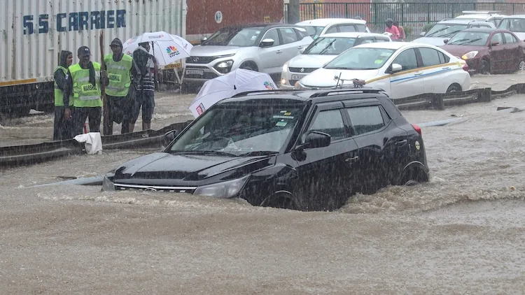
Some regions could face increased drought and wildfire risks, while others may experience heavier rainfall and flooding. These contrasting conditions can affect agriculture, water supplies and infrastructure.
Food security is another concern because rain-dependent crops can be affected by prolonged dry spells, while floods can damage farmland and harvests.
What happens next?
The 2026 El Nino is developing alongside already warm global oceans and rising temperatures, making its potential effects important to monitor. WMO has urged countries to strengthen preparedness for heat, flooding and drought risks as the event intensifies.
While it is still too early to definitively call 2026-27 the strongest El Nino on record, current observations and forecasts point to an unusually strong event. Its eventual impact will depend on regional climate conditions, other ocean-atmosphere patterns and the effectiveness of preparedness measures.


Conversation
Be kind and stay on topic. Comments are moderated; abuse, spam and personal attacks are removed. Report a problem