Shopping cart
Your cart empty!
Your cart empty!
Terms of use dolor sit amet consectetur, adipisicing elit. Recusandae provident ullam aperiam quo ad non corrupti sit vel quam repellat ipsa quod sed, repellendus adipisci, ducimus ea modi odio assumenda.
Lorem ipsum dolor sit amet consectetur adipisicing elit. Sequi, cum esse possimus officiis amet ea voluptatibus libero! Dolorum assumenda esse, deserunt ipsum ad iusto! Praesentium error nobis tenetur at, quis nostrum facere excepturi architecto totam.
Lorem ipsum dolor sit amet consectetur adipisicing elit. Inventore, soluta alias eaque modi ipsum sint iusto fugiat vero velit rerum.
Sequi, cum esse possimus officiis amet ea voluptatibus libero! Dolorum assumenda esse, deserunt ipsum ad iusto! Praesentium error nobis tenetur at, quis nostrum facere excepturi architecto totam.
Lorem ipsum dolor sit amet consectetur adipisicing elit. Inventore, soluta alias eaque modi ipsum sint iusto fugiat vero velit rerum.
Dolor sit amet consectetur adipisicing elit. Sequi, cum esse possimus officiis amet ea voluptatibus libero! Dolorum assumenda esse, deserunt ipsum ad iusto! Praesentium error nobis tenetur at, quis nostrum facere excepturi architecto totam.
Lorem ipsum dolor sit amet consectetur adipisicing elit. Inventore, soluta alias eaque modi ipsum sint iusto fugiat vero velit rerum.
Sit amet consectetur adipisicing elit. Sequi, cum esse possimus officiis amet ea voluptatibus libero! Dolorum assumenda esse, deserunt ipsum ad iusto! Praesentium error nobis tenetur at, quis nostrum facere excepturi architecto totam.
Lorem ipsum dolor sit amet consectetur adipisicing elit. Inventore, soluta alias eaque modi ipsum sint iusto fugiat vero velit rerum.
Do you agree to our terms? Sign up

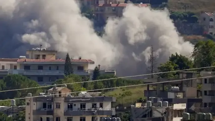
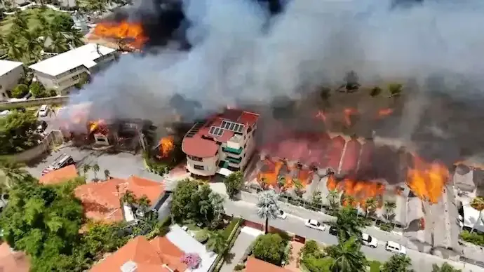
Satellite imagery has captured the extensive devastation caused by three simultaneous tropical weather systems — Cyclone Senyar, Cyclone Ditwah, and Tropical Storm Koto — which battered Sri Lanka, Indonesia, Malaysia, Thailand and Vietnam over the past week. The rare convergence of storms triggered severe flooding, landslides and large-scale displacement across the region.
Cyclone Ditwah first swept across Sri Lanka, bringing extreme rainfall before weakening near India’s eastern coast. Cyclone Senyar, which formed under rare atmospheric conditions in the Strait of Malacca, intensified over Indonesian waters before moving toward Malaysia. Meanwhile, Tropical Storm Koto unleashed flash floods in the Philippines before advancing toward Vietnam.
Meteorologists described November as highly unusual, with both Senyar and Ditwah forming in close succession — an uncommon phenomenon in this part of the world.
Satellite images of the Kelani Ganga in Colombo show vast stretches of cropland and residential areas submerged after days of torrential rain. Sri Lankan authorities reported 366 fatalities and 367 people missing across 25 districts.
Over 180,000 displaced people are currently sheltering in more than 1,000 government-run relief centres. Although rainfall has eased, low-lying parts of Colombo remained inundated through Sunday.
India has deployed specialised Army teams to Sri Lanka under Operation Sagar Bandhu, delivering medical care, engineering support and large-scale relief supplies.
Satellite footage from Planet Labs PBC shows floodwaters sweeping through Padang in West Sumatra and engulfing large swathes of Kabupaten Aceh Utara. Neighbourhoods, road networks and agricultural zones lie submerged beneath brown, sediment-filled water.
The storm intensified under a combination of factors — consecutive low-pressure systems, an active ITCZ, equatorial wave activity and strengthening disturbances — creating a “perfect setup” for unusual cyclogenesis.
In Thailand, the swollen Songkhla Lake expanded by over 10 kilometres, submerging wide areas. At least 170 people have died, with officials calling it one of the country’s worst flood disasters in a decade. Hat Yai recorded over a month’s rainfall in a single day on November 21.
Dr Mrutyunjay Mohapatra, Director General of the India Meteorological Department (IMD), confirmed that Cyclone Senyar was the first cyclone recorded in the Strait of Malacca since 1886.
Cyclones almost never form near the equator due to insufficient Coriolis force, making Senyar’s development “a rare meteorological phenomenon”. The event unfolded against the backdrop of a weakening La Niña and a negative Indian Ocean Dipole (IOD) shifting toward neutral conditions.
49
Published: Dec 02, 2025

All India Story is your trusted source for comprehensive and up-to-the-minute news coverage across India. Bringing you the latest on politics, business, technology, entertainment, sports, and more, we are dedicated to keeping you informed with accurate, engaging, and insightful stories from every corner of the nation.