

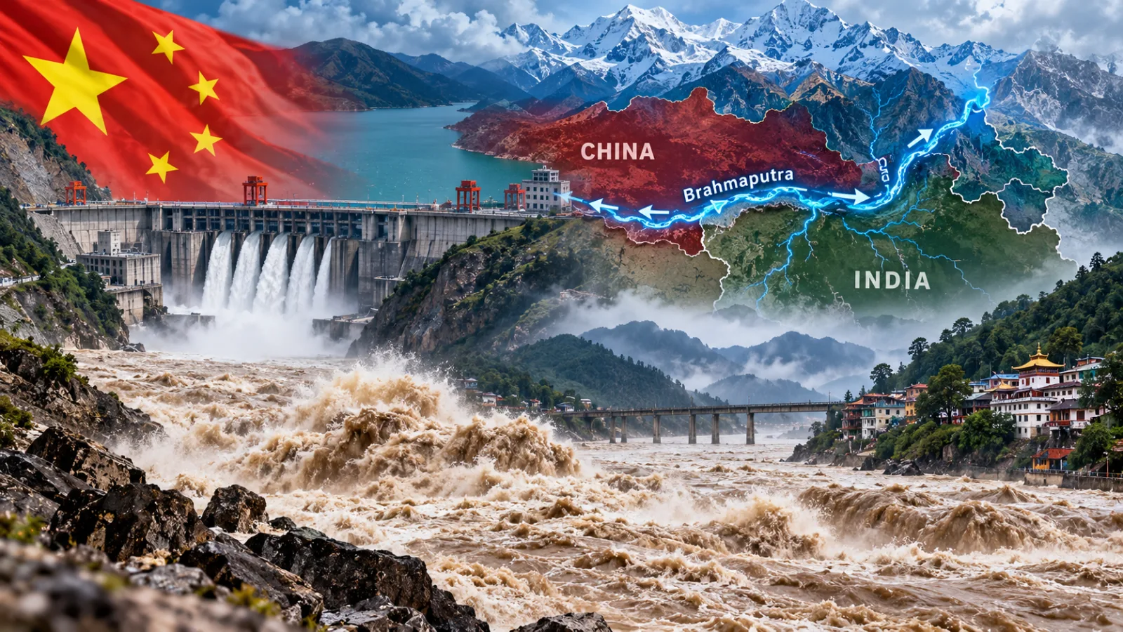

The Brahmaputra River could experience increased water flow and a greater risk of flooding this century, according to a study by Chinese researchers. The findings come as China builds a massive hydropower project on the river in Tibet, intensifying regional concerns about flood hazards, seismic risks and cross-border water security.
Researchers from the Chinese Academy of Sciences and Yunnan University reconstructed the river’s runoff history from 1325 to 2020 using tree-ring records from the southeastern Tibetan Plateau. They combined the historical reconstruction with climate data to model possible future changes.
The study, published in China Science Bulletin on October 8, projected an increase in river runoff under future climate conditions, alongside a possible rise in high-runoff events such as floods.

Climate Change Could Alter Brahmaputra River Flows
The river is known as the Yarlung Tsangpo in Tibet. It enters India as the Siang in Arunachal Pradesh before becoming the Brahmaputra farther downstream.
According to the researchers, the Tibetan Plateau is warming at approximately twice the global average rate, affecting ice cover and the regional water cycle. Changes in the plateau’s hydrology could influence river flows and affect drought and flood patterns across South Asia.
The researchers said their findings offer a long-term perspective on hydroclimatic changes in the river basin and a scientific basis for assessing future water-resource risks.
For downstream communities, changes in the volume and timing of river flows could have implications for flood preparedness, water management and infrastructure planning. However, the study’s projections do not establish that flooding will occur at a particular location or date.
China’s Massive Tibet Dam Faces Seismic Concerns
China is constructing a major hydropower project in Medog, also known as Motuo, in southeastern Tibet. The site lies near the disputed border with India, where the Brahmaputra makes a sharp U-turn through a deep Himalayan gorge before entering Arunachal Pradesh.
The project is expected to have an installed capacity exceeding 60,000 megawatts, nearly three times the capacity of China’s Three Gorges Dam. Its estimated cost has been reported at around $168 billion.
The location presents significant engineering challenges because it lies in a tectonically active region prone to earthquakes. In July, Chinese geologists reportedly warned that an active fault beneath the planned dam could threaten structural stability. They called for stronger slopes and protective measures against landslides and collapses.
China’s Foreign Ministry has previously maintained that the project would not harm downstream countries and that safety concerns had been addressed through extensive studies and protective measures.
Regional Water Security Remains a Concern
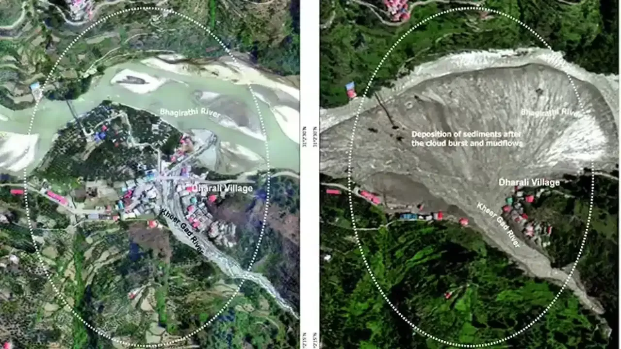
Recent mountain disasters have highlighted the vulnerability of the Himalayan region to floods, avalanches and landslides. Against this backdrop, researchers say future river-flow changes need to be considered when planning water-storage facilities and evaluating risks across national borders.
The study adds to ongoing debate over climate change, hydropower development and the management of shared river systems. For India and other downstream regions, understanding changes in the Brahmaputra’s flow will remain important for flood preparedness and long-term water planning.







Conversation
Be kind and stay on topic. Comments are moderated; abuse, spam and personal attacks are removed. Report a problem